Unveiling the Past with Reflectance Transformation Imaging

Topic: Technological tools for heritage

Reflectance Transformation Imaging (RTI)

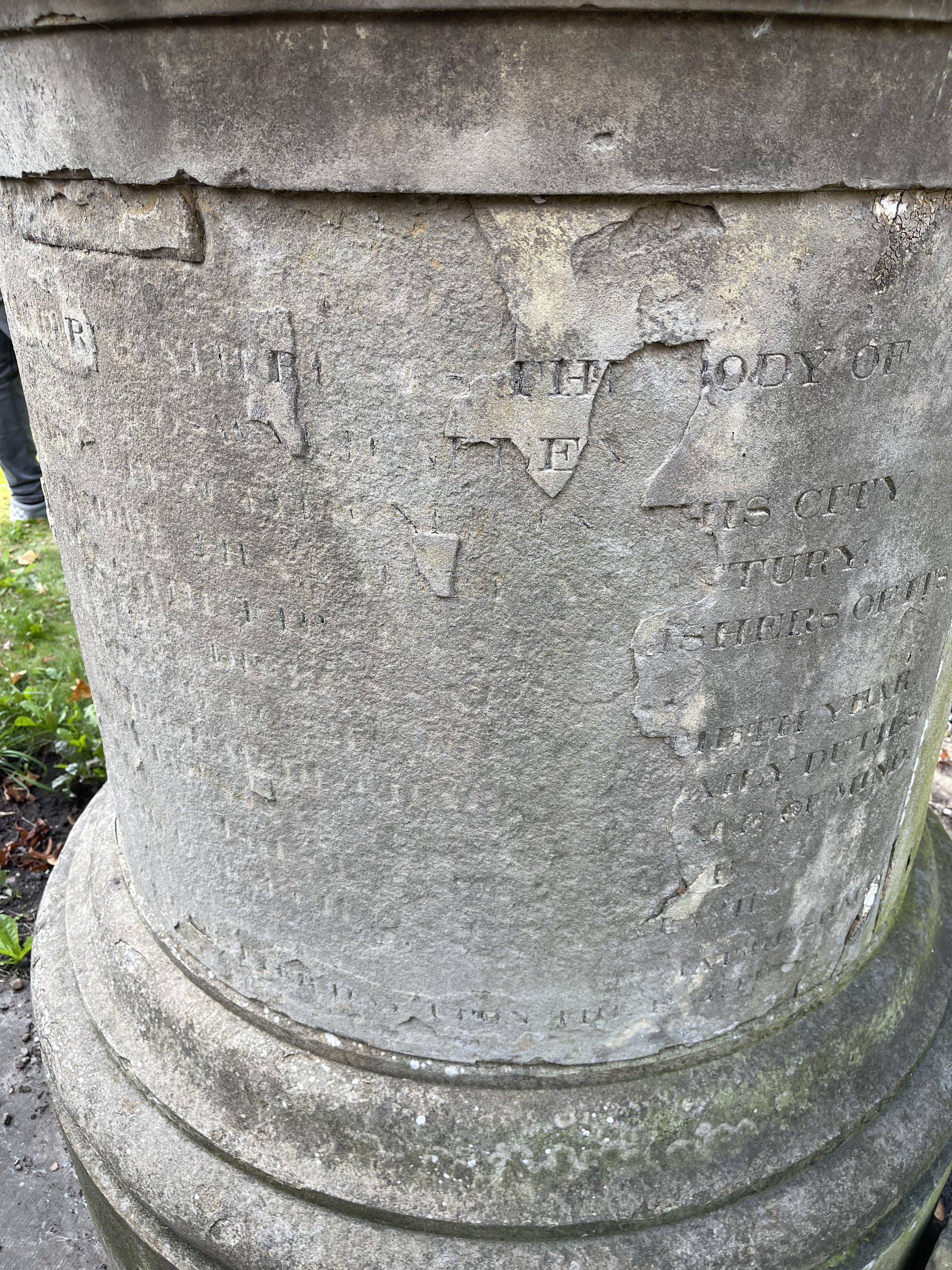
Oswald Allen Memorial

Reflectance Transformation Imaging (RTI) is an innovative imaging technique that offers a unique way to capture and analyze intricate details of cultural artifacts, historical documents, and ancient relics. It enables the enhancement and analysis of intricate surface details of objects through the manipulation of light. Unlike traditional photography, which captures a static view of an object, RTI allows for the exploration of an artifact's surface from various angles, unveiling hidden details that are otherwise imperceptible.

The process involves capturing a series of photographs of an object, illuminated from different directions. These photographs are then processed using specialized software to generate an interactive, high-resolution image that allows for the manipulation of the lighting conditions virtually. The resulting RTI can be examined in detail, revealing fine surface features, textures, and inscriptions that may have been obscured or difficult to perceive under conventional lighting.

How is it being used in the Heritage Industry?

  • Artifact Conservation: RTI proves invaluable in the preservation of cultural artifacts. This technique can be used to document the condition of objects, monitor changes over time, and plan appropriate conservation measures.

  • Documenting Inscriptions and Texts: For historical documents or artifacts with inscriptions, RTI can bring faded or worn text to life. Using RTI, we can decipher ancient scripts or uncover hidden details that provide new insights into historical contexts.

  • Archaeological Analysis: In archaeology, RTI aids in the detailed examination of excavated items. It can be used to identify tool marks, distinguish between intentional and natural markings, and analyze the wear and tear on artifacts.


Reflectance Transformation Imaging has emerged as a powerful tool in the heritage industry, opening new avenues for exploration and understanding of our cultural past. Its ability to unveil hidden details and enhance the preservation of artifacts makes it an indispensable technology for the heritage sector. As technology continues to advance, RTI stands as a shining example of how innovation can bridge the gap between the past and the present, preserving our shared heritage for generations to come.


Related Article

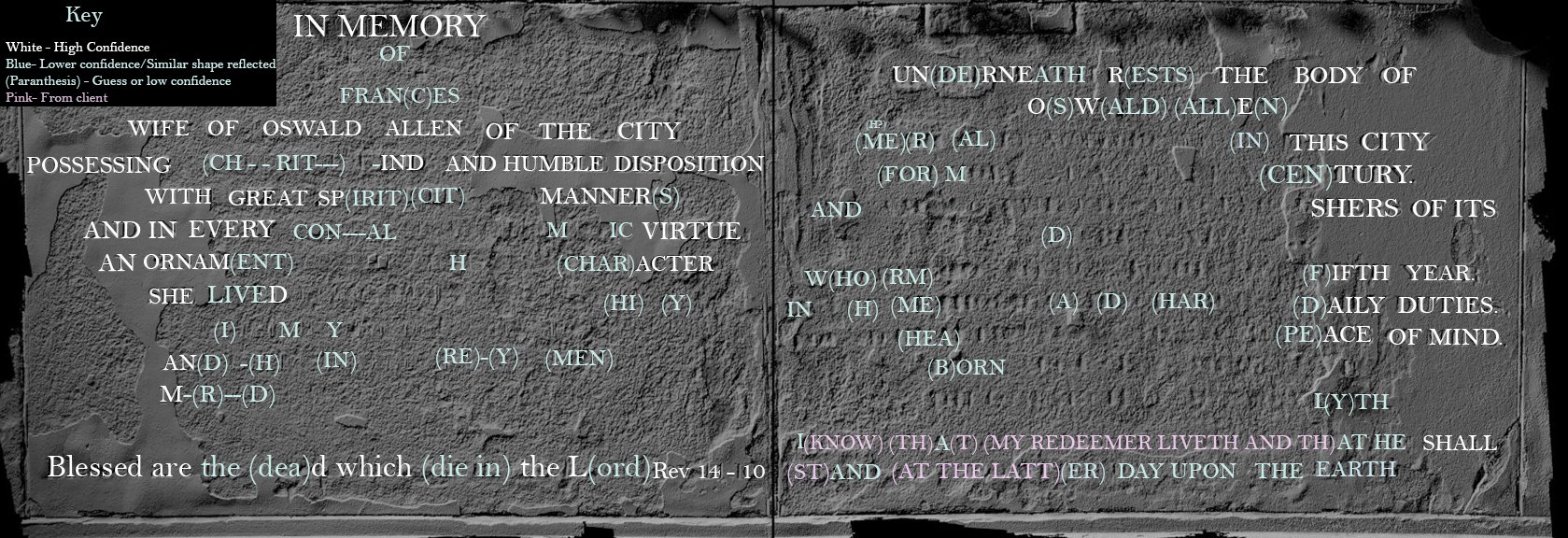
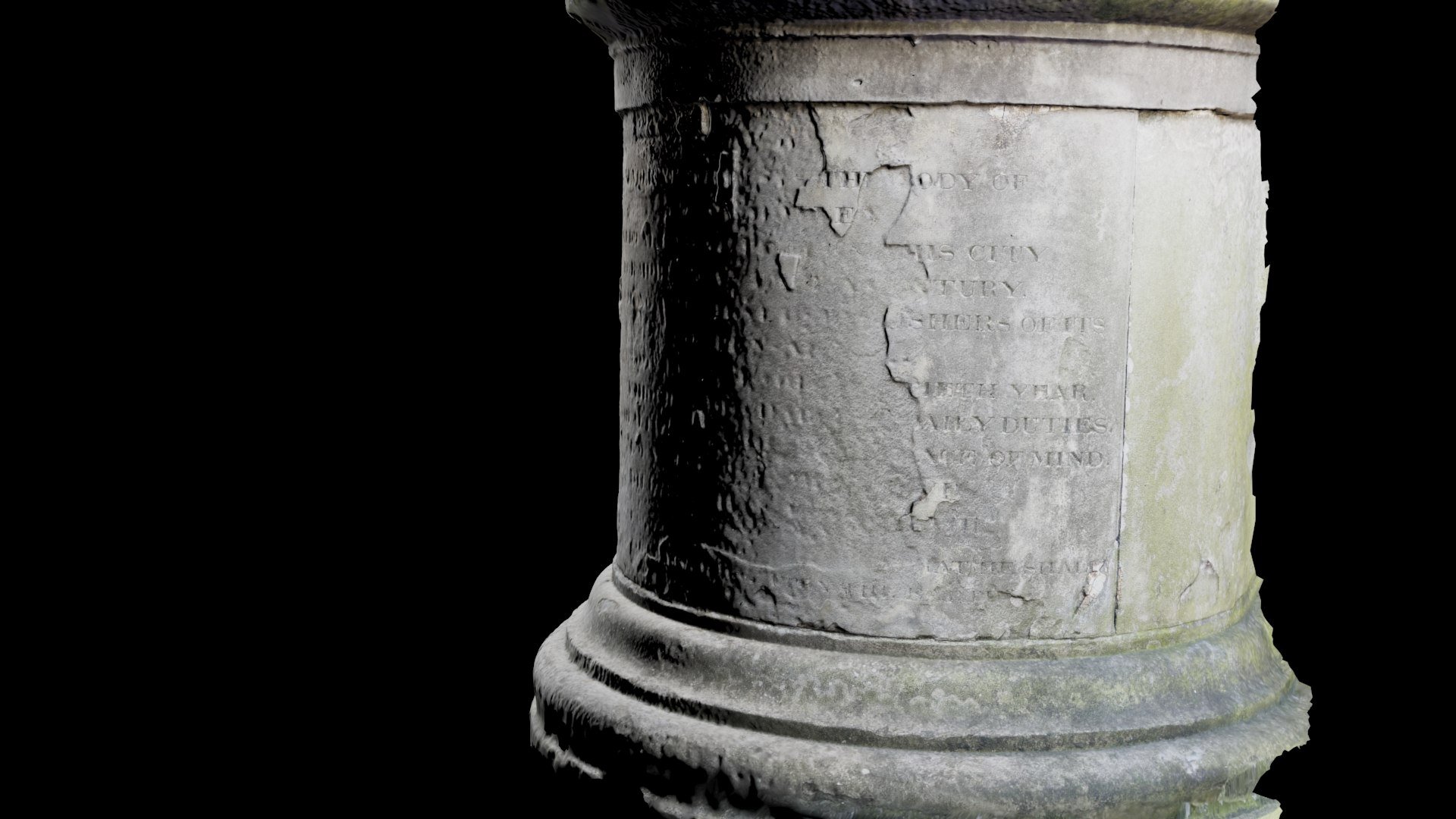
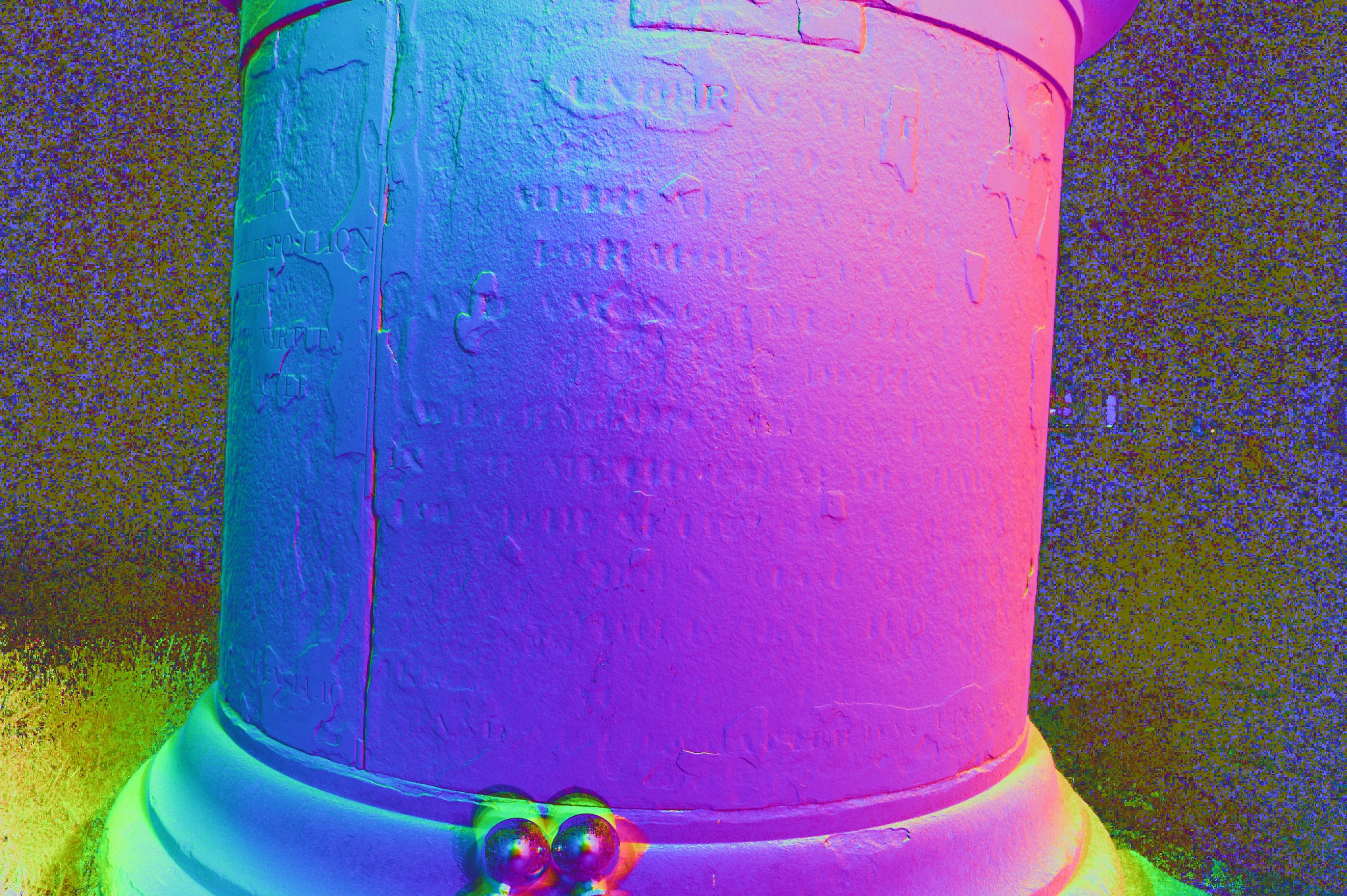
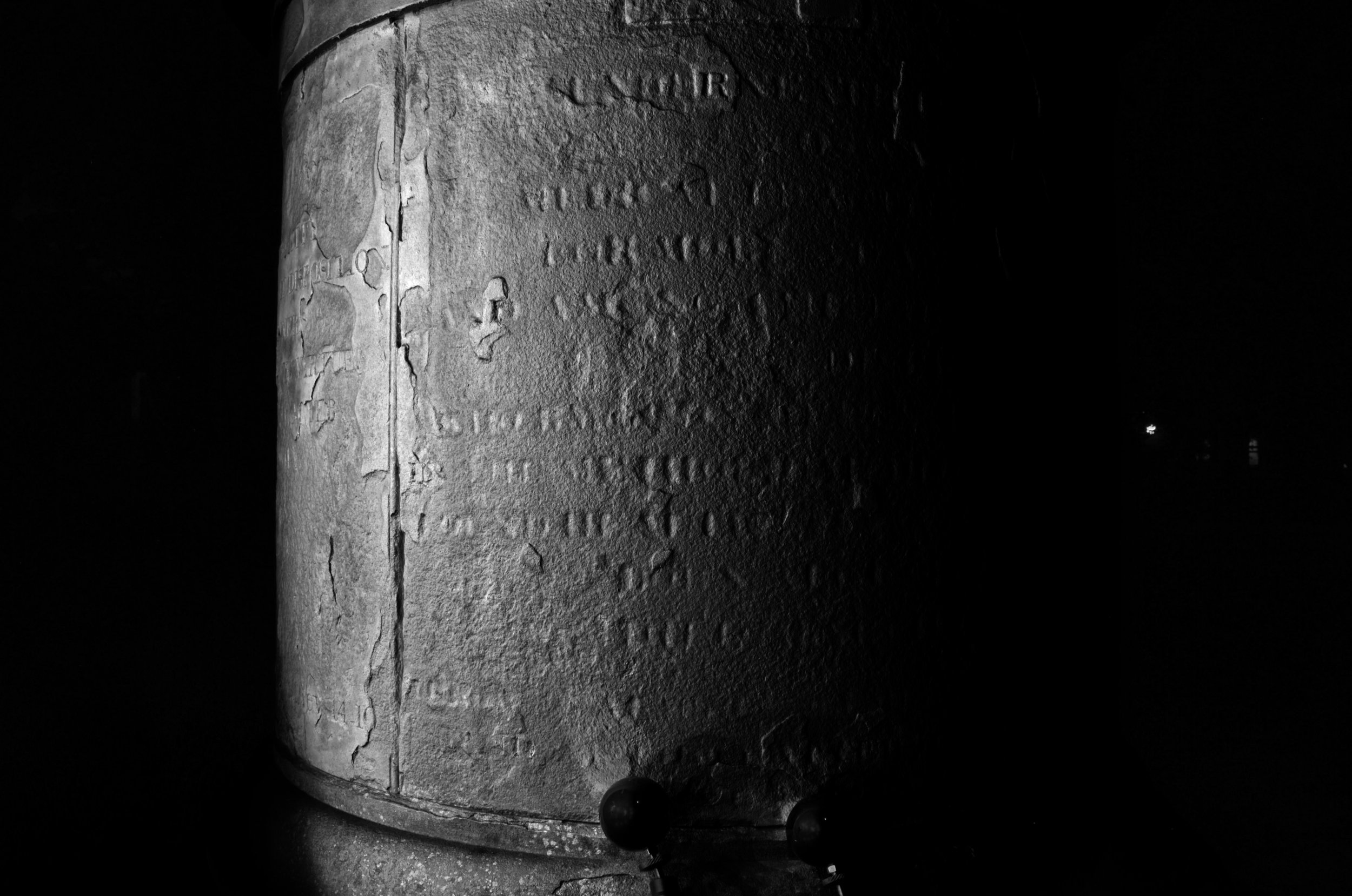
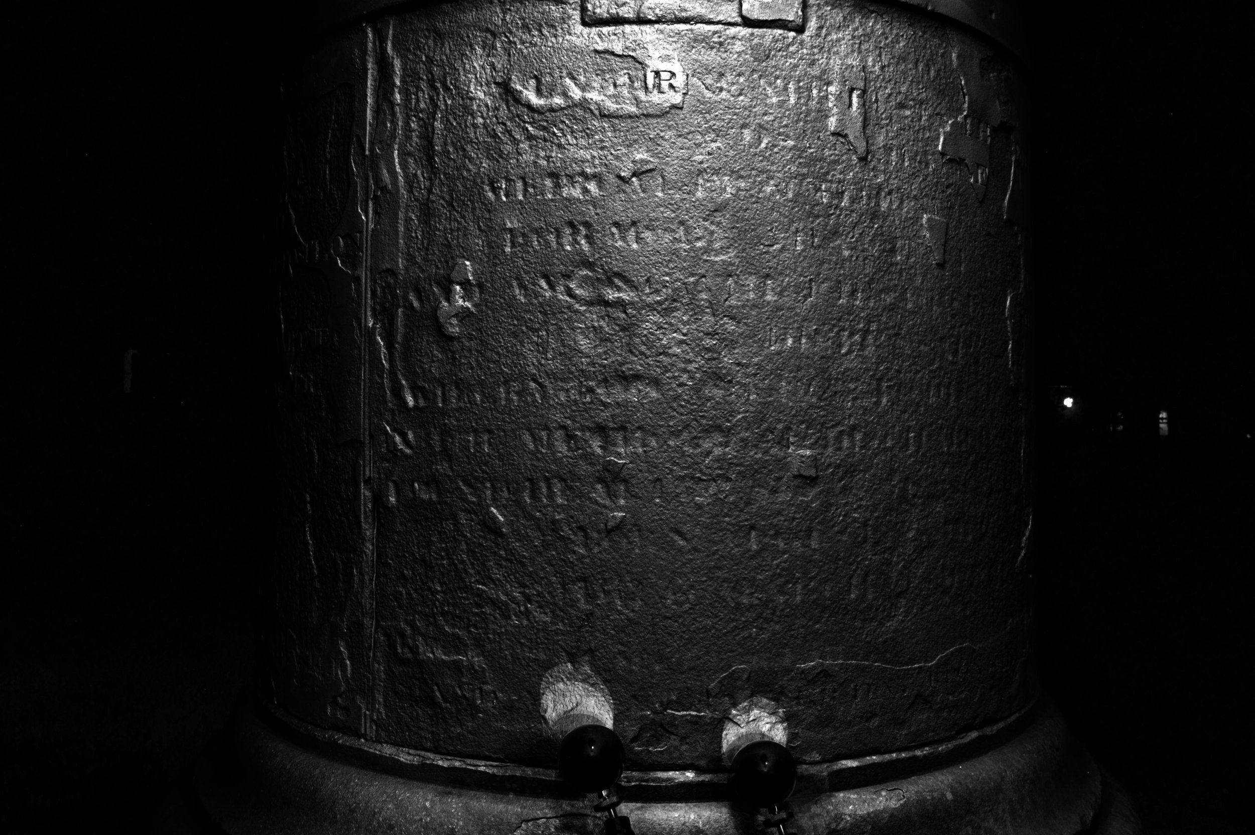
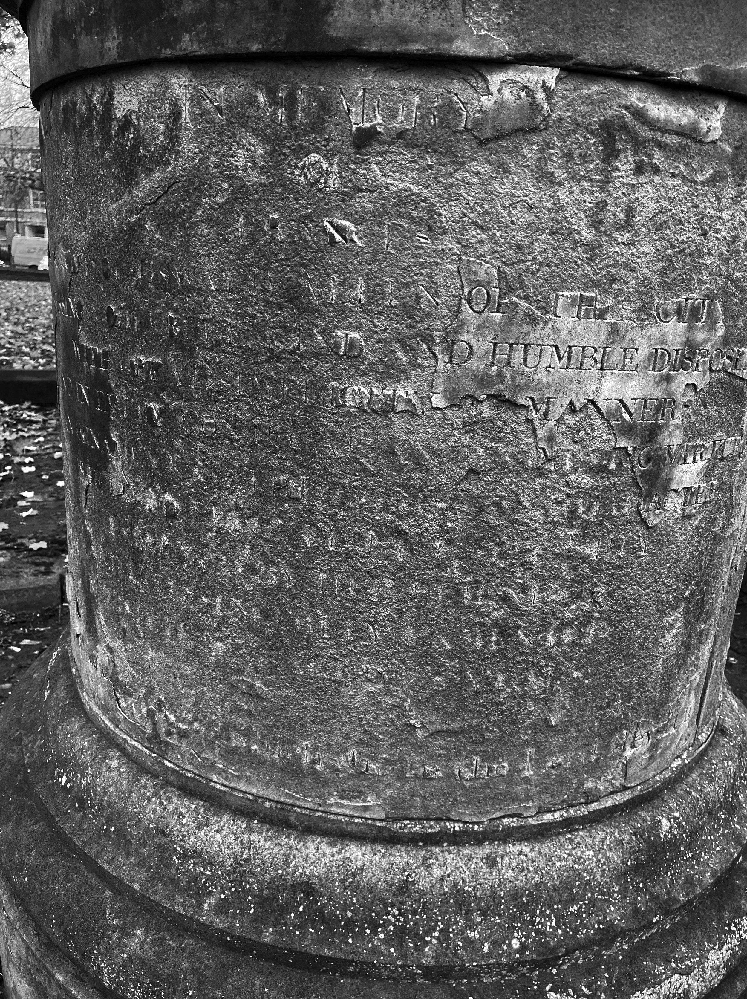
RTI results, Oswald Allen Memorial project


This article was written with assistance from ChatGPT
OpenAI. (2023). ChatGPT [Large language model]. https://chat.openai.com

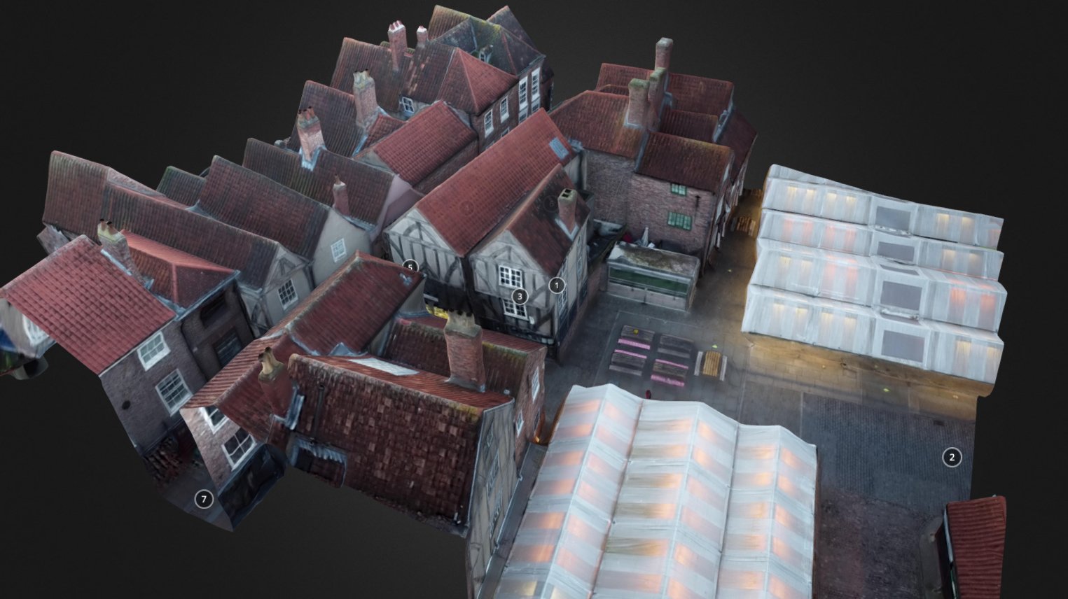
Preserving History from Above: Drone Surveys for Historic Building Records

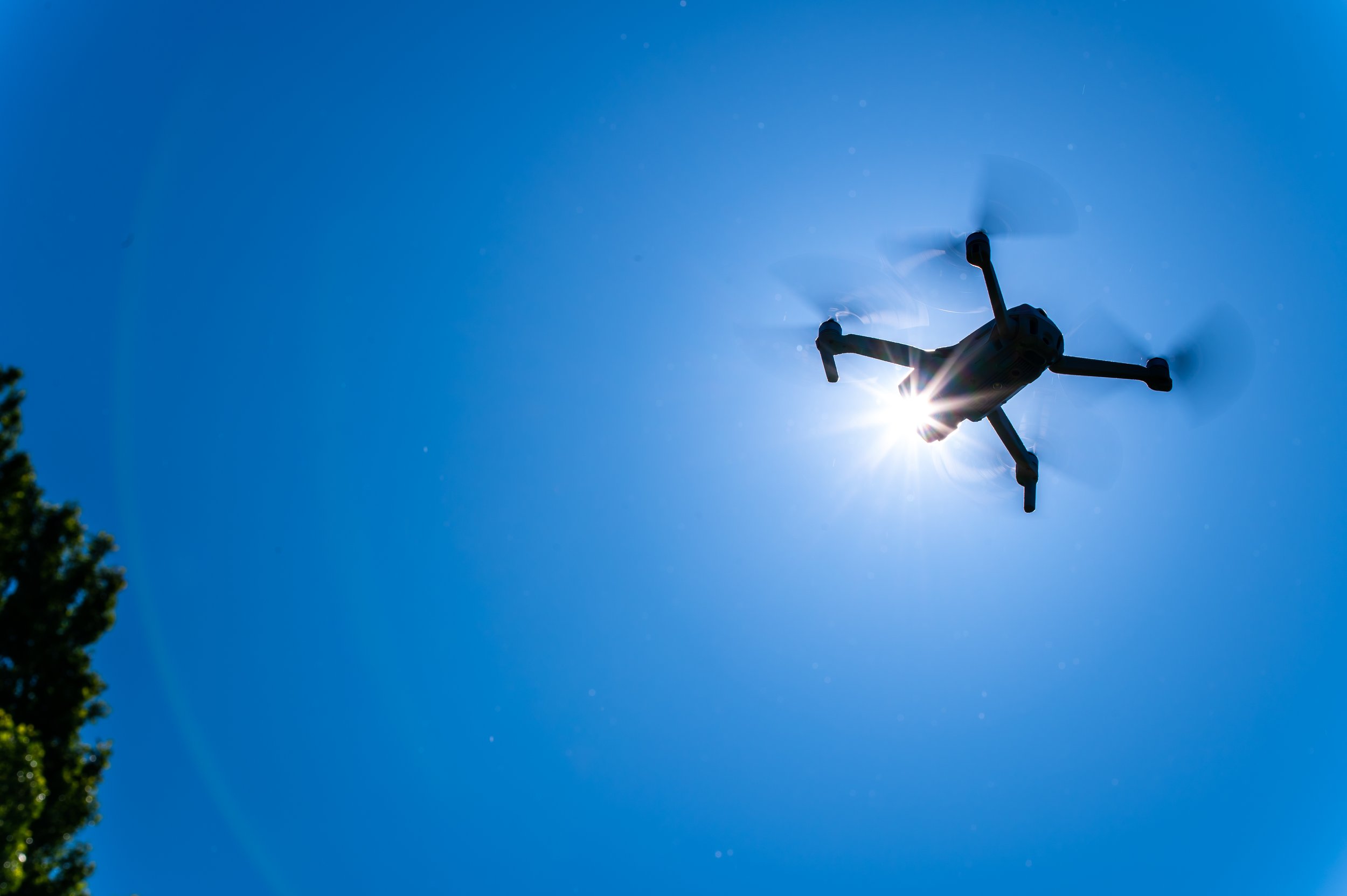
Image by Doane (Yu Tung)

In the digital age, technology continues to revolutionize various industries, and the field of heritage preservation is no exception. Drones, with their ability to capture high-resolution aerial imagery and navigate complex spaces, have emerged as powerful tools for documenting and surveying historic buildings. Drone surveys have had a transformative role in preserving our architectural heritage and creating comprehensive records for future generations.


Uncovering Hidden Perspectives:

Historic buildings often have intricate details and unique architectural elements that can be challenging to capture from the ground. Drones provide a fresh perspective by offering an elevated vantage point, revealing hidden details, and capturing the grandeur of the structures. From soaring cathedral spires to ornate facades and weathered rooftops, drones enable heritage professionals to document these features in high resolution, creating a comprehensive visual record.

Efficiency and Accuracy:

Traditional methods of surveying historic buildings involve time-consuming and potentially risky tasks such as erecting scaffolding or using telescopic equipment. Drone surveys offer a significant advantage by providing efficient and accurate data collection. Equipped with high-resolution cameras and advanced imaging technologies, drones can rapidly capture detailed imagery of buildings, reducing surveying time and costs while maintaining a high level of precision.


Preservation Planning and Maintenance:

Maintaining historic structures requires meticulous planning and regular maintenance. Drone surveys offer valuable insights for preservation planning by detecting structural issues, weathering, and signs of deterioration that may not be immediately apparent from the ground. By identifying areas that require attention, heritage professionals can prioritize restoration efforts and undertake preventive measures to prolong the lifespan of these iconic buildings.


Documentation and Archiving:

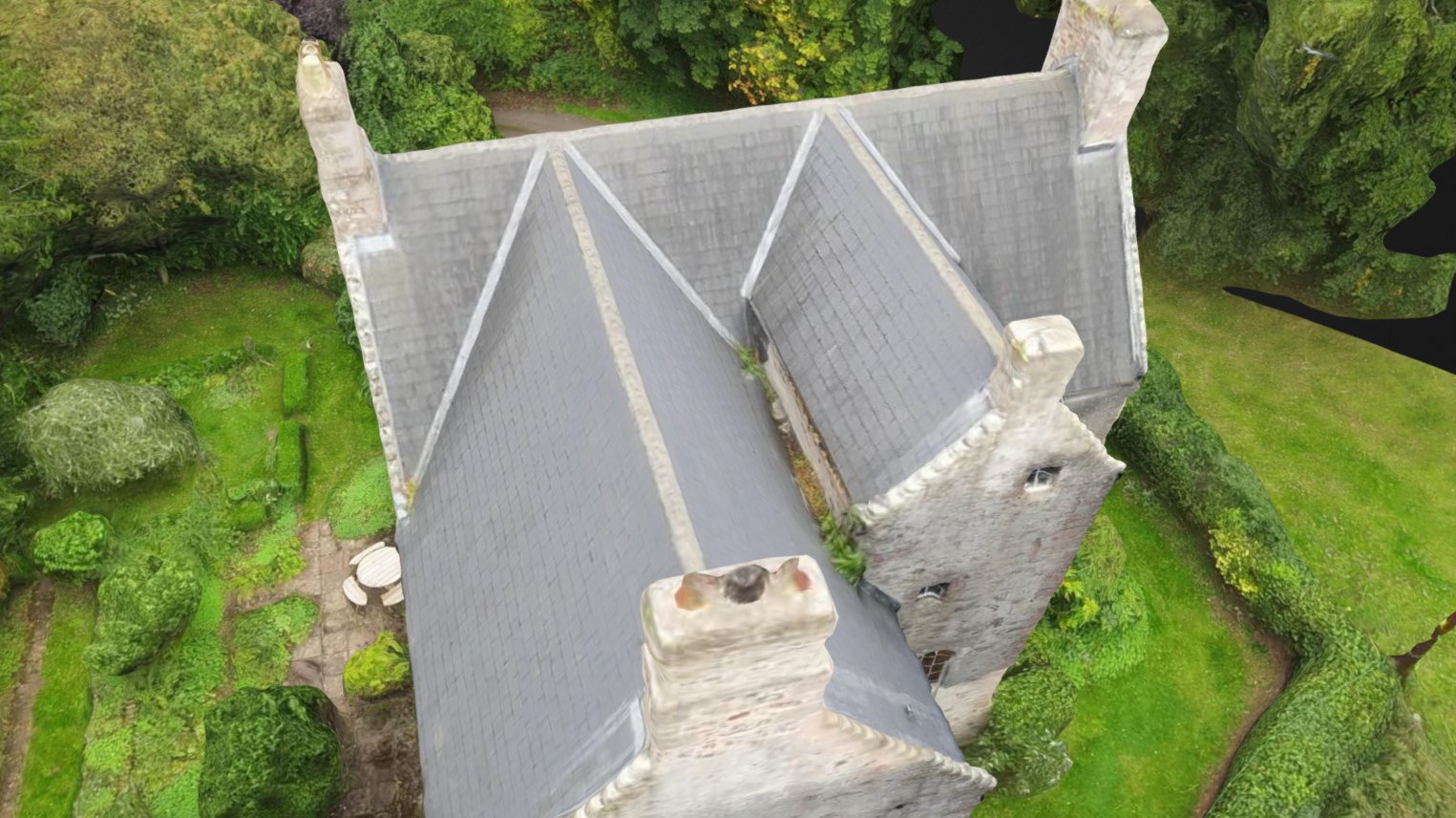
Preserving the architectural heritage goes beyond physical restoration; it also involves creating detailed records for historical reference. Drones contribute to this endeavor by generating accurate 3D models and orthomosaic maps of historic buildings. These digital records capture the structure's current state and can serve as a benchmark for future comparisons. Additionally, these digital archives can be shared with researchers, historians, and architectural enthusiasts worldwide, ensuring widespread access to valuable historical data.

Risk Mitigation:

Historic buildings are susceptible to various risks, including natural disasters, fires, and structural instability. Drone surveys enable experts to assess potential risks without compromising safety. By conducting regular inspections from the air, drones can quickly identify vulnerabilities, such as damaged roofs or weakened foundations. This information empowers stakeholders to take proactive measures to mitigate risks and safeguard these architectural treasures.


Public Engagement and Education:

Drones not only aid professionals in their preservation efforts but also facilitate public engagement and education. Aerial footage and interactive 3D models created from drone surveys can be used to create virtual tours, multimedia exhibits, and educational materials. These immersive experiences allow individuals to explore historical buildings remotely, fostering a deeper appreciation for architectural heritage and encouraging support for its preservation.

The use of drones in historic building surveys has revolutionized the way we document, preserve, and appreciate our architectural heritage. By providing unique perspectives, improving efficiency, and facilitating comprehensive documentation, drones have become invaluable tools in the hands of heritage professionals. As we continue to embrace technology's potential, drones will play an increasingly crucial role in safeguarding our past for generations to come. Through their contributions, these aerial ambassadors ensure that the stories and beauty of historic buildings endure long into the future.

If you are interested in getting an aerial survey completed for documenting, risk mitigation, public engagement or otherwise, please get in touch with us today!


This article was written with the help of ChatGPT.

Bethany named in Insider's 42 Under 42

Yorkshire Business Insider has included Bethany in their 42 inspirational Yorkshire business leaders under the age of 42. She has been featured among other amazing business leaders in their Feb and March editions of Yorkshire Business Insider and attended an awards dinner in April.

Experience Heritage named Leading Software Company in Global 100 2023 awards

Experience Heritage has been named a Global 100 winner, recognized as ‘Leading Software Company’ in 2023.

Global 100 each year consists of only 100 of the World’s leading firms and individuals as voted by their global readers from over 163 countries worldwide.

“The purpose of the Global 100 is to provide the readership with a comprehensive understanding of those firms that are truly leaders within their chosen areas of specialisation.

The Process:

The Global 100 does not follow the usual process followed by many other publishers. It follows a very specific, very comprehensive process, not commonly used elsewhere in the industry. Following the closure of the voting process, which follows a very strict format of self-submission and third-party nomination, firms are shortlisted and selected as winners, in this elite group as follows;

Assessment stage:

For each category awarded a proprietary method of analysis ranks winners based on their domestic and international work. This ranking method produces a list of shortlisted firms, based on a very comprehensive set of criteria.

Judging stage:

Once all votes have been received, an independent panel of judges review the votes within each category.

The judges will assess the following in their considerations:

The strategic nature of work conducted.

The complexity of work conducted.

The scale of work conducted.

Whether the work conducted was done so in a speedy manner, and within budget.

Any ground-breaking or innovative processes used during completion of conducted work.

The judges have been asked to focus strongly on the complexity and strategic significance of work conducted.

The above criteria underline’s the importance of the recognition each firm is receiving based on being recognised as a Global 100 winning firm.

In summary, the Global 100 program provides a benchmark of the very best of the best industry leaders, exemplary team’s and distinguished organisations.

It is a requirement for all our programs of recognition to receive no less than 24% in votes from the global readership, currently in excess of 376,000. This policy is applied to further endorse the worthiness of the awards presented and any marketing carried out as a result of the process.”


Case study combining laser scanning + RTI: Oswald Allen Memorial

Deciphering the worn inscription on the Oswald Allen memorial was an interesting challenge in heritage investigation. This Victorian ‘medicine pot’ memorial was believed to pay tribute to Oswald Allen, founder of the York Dispensary, and his wife Frances. However, despite a Victorian record of the stones within the St Lawrence churchyard, no record of Allen’s memorial inscription can be found and therefore its message is at risk to be lost to history forever. This is why a parishioner of St Lawrence Church approached us to see if digital technologies might be able to decipher anything beyond what is visible to the naked eye.

Determined to at least partially decipher the inscription, we tried several different methods. First a photogrammetry test was done to see if this technique would pick up the required level of detail from the stone’s surface to allow us to see fine depth information. The test didn’t prove promising unless new techniques were engaged including high resolution, macro photography or photometric stereo. Instead, our second method was to try laser scanning and to see if the level of detail was enough to determine small changes in depth.

We were provided assistance with the laser scanning from XR Stories and from SIGN’s Creativity Lab, both very useful resources available to small business in the screen and interactive media realm in the Yorkshire region. With the stone scanned, we first had to flatten it in order to be able to use depth information to help us potentially interpret some of the inscription. To do this, we used software called CloudCompare. Once flattened, we were able to add a colouring system which changes colours based on height information. This helped us to see a little more, but the first scans did not obtain enough fine detail to allow us to see much.

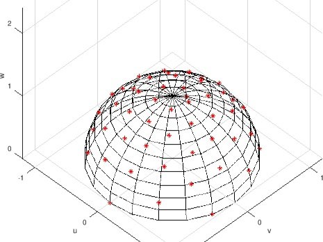
Next, we took on a new technique (for us) called Reflectance Transformation Imaging (RTI). Different to photogrammetry, where the camera is moved around an object, in RTI it is the flash that is moved while the camera remains in the same place. After a series of images are taken having moved the flash in a configuration as shown in the diagram below, processing software pulls these images together to give you further depth information in the form of a normal map. A normal map shows height information for a 3D model and can be used to provide texture to a flat model surface. The RTI viewer software also allows you to digitally move a light source around the object to help highlight depth information through shadows. 

A normal map produced through RTI

Placement of light/flash during RTI.
Image credit: https://cceh.github.io/rti/intro.html

We then combined the two techniques by performing RTI on the laser scanned model within the 3D modeling software.

Using these techniques, as well as good old-fashioned raking light (manually using light over the surface of the object to induce shadows which help read inscriptions) and research, we were able to provide more of the inscription than was previously known.

In the end, however, much of the middle of the two panels was indecipherable. The weathering had taken most of the detail of the letters away leaving only a hint that a letter was once there.

Depth colouring

Laser scan, flattened and shaded

Deciphered sections from the inscription


Experience Heritage finalist in FSB awards 2023

We’re excited to again be named finalists in the Federation of Small Businesses’ Awards for Yorkshire & Humber 2023 under Self-Employed/Freelancer of the Year!
Winners will be announced at a ceremony on 24 February in Leeds.

To learn more about the event and to check out all the great businesses we’ve been nominated along-side, check out the FSB site.

Bethany speaks with "What Do You Actually Do" Podcast

Bethany recently spoke with University of York Careers & Placements podcaster Kate Morris about what she actually does as a digital archaeologist and solopreneur.

“I myself want to go to a heritage site and stand there and be able to actually visualise what this ruin used to look like when it was fully functional and there were people moving around the space…and I wanted to bring that to other people as well.”

Listen to the podcast episode here.

Case study combining SfM + standard photogrammetry for virtual touring: Parlormade

The project for Parlormade Scone House was an exciting opportunity to combine our work in photogrammetry with drone SfM (Structure-from-Motion). It also had the increased challenge of capturing narrow in-door spaces through standard photogrammetry.

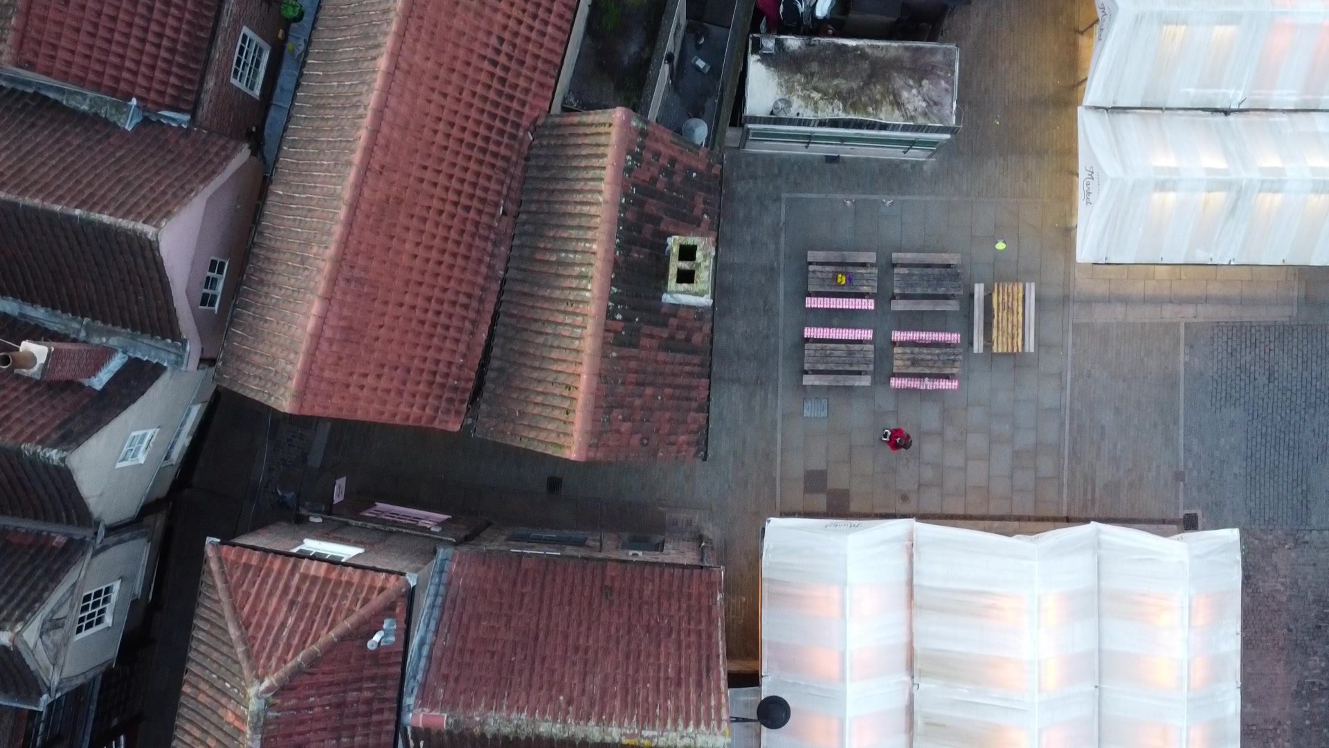
We broke the project into pieces, deciding to combine the exterior model and interior model in post. For the exterior, we took ground photography to try to get as much detail as possible, realizing that we’d not be able to get the angle we’d need to capture the roof without using a UAV (unmanned aerial vehicle) because of how tightly packed the buildings are in the Shambles. Therefore, we used the drone to capture the upper angles of our building and those next to it. Because of the extreme difference between our ground angles and those from the drone, the software was not able to automatically combine these pictures into one model, so it required manual merging in 3DS Max. After much cleaning and post processing, we had the exterior completed and then shifted our focus on creating the interior.  

Creating photogrammetry models of interior spaces is more complicated than it may seem. Typically, in photogrammetry, you move in a circular path around your subject capturing it from all angles. However, when your subject surrounds you, in the case of a room, you have to change the way you think about capturing every surface. Our brilliant intern Ben, who is also a skilled photographer, did a large portion of the interior photography. He captured each wall as if it were its own ‘object’, but made sure to tie it to the adjacent wall through sufficient overlapping photography.

Blue squares represent the camera positions within the model.

Piecing things together in post-production

However, some features will never do well, whether taken inside or out, and those are reflective surfaces like mirrors or windows. This is because the current software isn’t yet smart enough to figure out what a window is and how it should work when being modeled. Sunlight reflecting off surfaces like shiny wood can also cause distortion which is why a lot of the second floor chairs and table-tops needed a lot of reworking. 

An amazing amount of information can be captured from the right photography. When looking at the second floor, you can see how well the high ceiling came out despite us not using a ladder to get closer shots, straight-on shots.

Wireframe of the completed model

The other complication with interior photogrammetry in a space like Parlormade is all the furniture that needs to be included and needs sufficient photographic coverage as well. Much of the building's internal features, such as the counter on the ground floor and the fireplaces, were captured easily enough. Features with spindly details like the chairs’ legs and the railing balusters did less well and had to be fixed in post. In fact, most of the chairs in the final model are a bit of a Frankenstein’s monster created by merging what was captured from different chairs into one jumble that resembles something somewhat realistic. 

Though an attempt was made to cover each space thoroughly enough to be able to process all three floors into one model in the software, the challenge of narrow and dark staircases made this impossible. In the end, a lot of post processing work went into seamlessly merging different models into the single interior model for the final design.

Once the model was complete, it was uploaded to Sketchfab where customers/potential customers of Parlormade could view the building and move around it in the 3D viewer. We were asked to add some historical information to add context to the medieval structure. We completed a few days of research and came up with 10 ‘stops’ around the model to help viewers better understand the history of the building, the Shambles and the tea and scone industry in the UK. The final result acts like a virtual tour which users can view while enjoying a scone in the cafe or while sitting at home deciding where they’d like to visit. Through the Sketchfab platform, users can also utilise the VR viewing option for a fully immersive experience.

This project combined a lot of photography and planning with quite a bit of post processing in order to pull together an engaging and immersive model. The end result, with photo-realistic quality, gives users the ability to move around the space virtually and view each room from any angle.